
Čiovo / Trogir → Cypelek Widokowy
![]() Altitude maximale : 200m
Altitude maximale : 200m
![]() Dénivelé total : 290m
Dénivelé total : 290m
![]() Longueur total : 14 km
Longueur total : 14 km
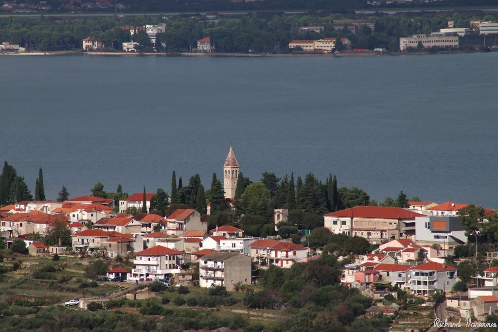
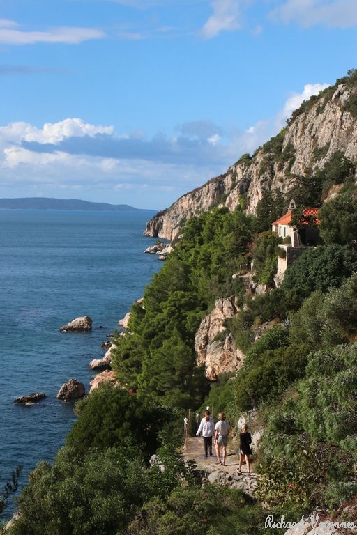
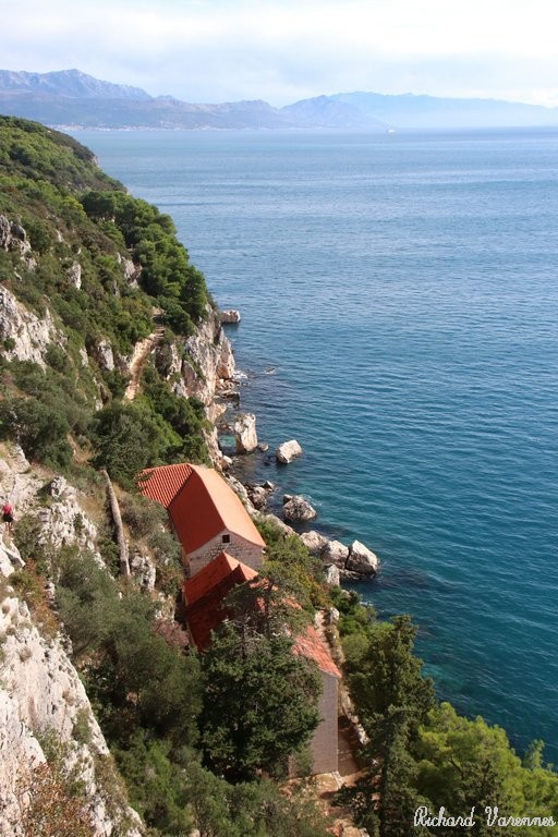
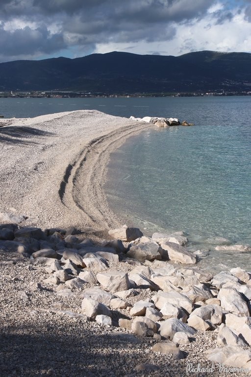
![]() Itinéraire : Trogir → Slatine → Punkt widokowy → Crkva Gospa od Prizidnica → Cypelek Widokowy → Plaža Kava → Slatine Beach → Trogir.
Itinéraire : Trogir → Slatine → Punkt widokowy → Crkva Gospa od Prizidnica → Cypelek Widokowy → Plaža Kava → Slatine Beach → Trogir.
![]() Bibliographie : -
Bibliographie : -
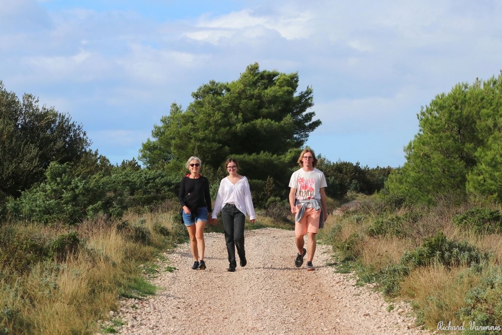
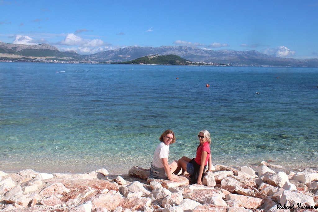
![]() Participant(s) : Cécile, Sarah et Timothée
Participant(s) : Cécile, Sarah et Timothée
![]() Récit de la sortie :
Récit de la sortie :
Portfolio
Commentaires